borne (poteau kilométrique),
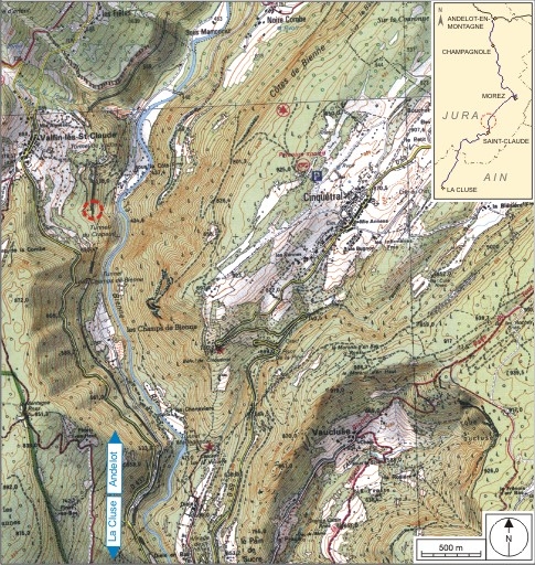
Carte et schéma de localisation. Carte topographique, IGN, 2000, dalle F087_051, échelle 1:25 000. Scan 25, licence n° 2008/CISE/2968.Immatriculation
IVR43_20093900018NUDA
Auteur de l'illustration
Copyright
- (c) Région Bourgogne-Franche-Comté, Inventaire du patrimoine
- SCAN 25 (c) IGN - 2008, Licence n° 2008CISE29-68
Année de prise de vue
2009
Diffusion
reproduction soumise à autorisation du titulaire des droits d'exploitation
Type
dessin numérique
Sujets
borne
Besoin d'informations sur cette illustration ?
Nous contacter
Informations techniques
-
Échelle
- 1/25 000
-
Technique de relevé
- reprise de fond
Apparaît dans le dossier


Cartographe. Région Bourgogne-Franche-Comté, Service Inventaire et Patrimoine. 199?-201?